
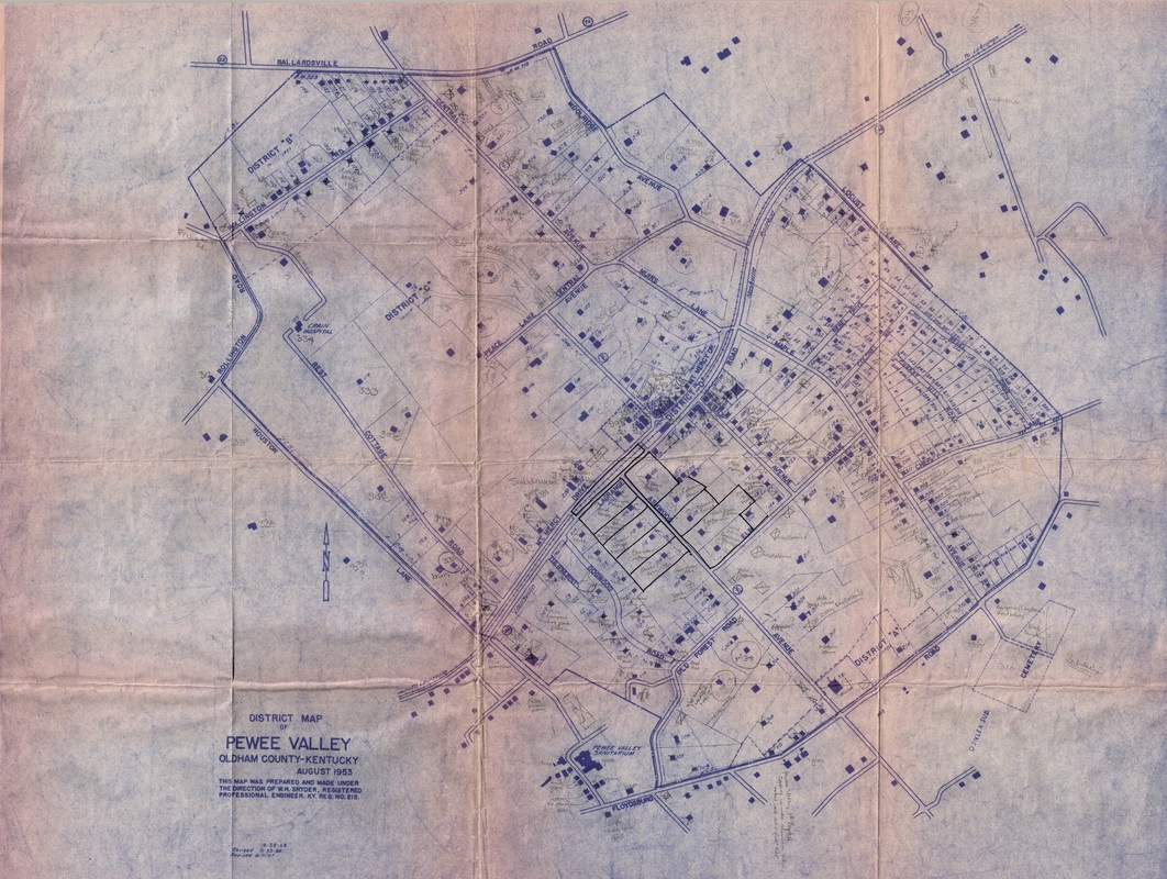
1953 District Map of Pewee Valley
This District Map of Pewee Valley was created in August 1953. The pencil notations on the map were made by Katie S. Smith as she was preparing her 1974 publication, "Pewee Valley: Land of the Little Colonel," which included contemporary photographs of almost every home in Pewee Valley at that time.
The map was originally created by her father, W. H. Snyder, when he first assigned addresses to homes and businesses in Pewee Valley.
Thanks to her sons William and John Smith for making her original photographs and maps available to the Pewee Valley Historical Society.
The map was originally created by her father, W. H. Snyder, when he first assigned addresses to homes and businesses in Pewee Valley.
Thanks to her sons William and John Smith for making her original photographs and maps available to the Pewee Valley Historical Society.
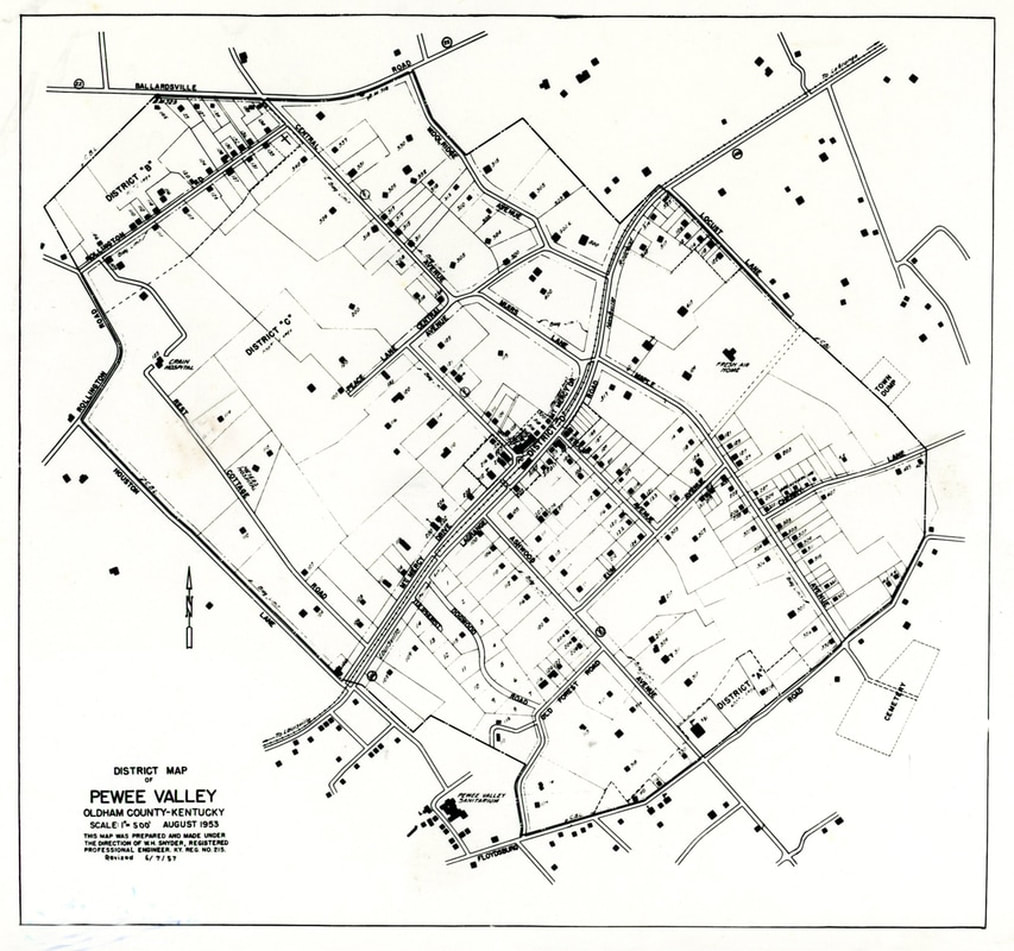
The clean, 8-1/2 by 11-inch reproduction of the 1953 District Map below is from the Richard N. Duncan Collection.
Related Links